


Parts of northwestern Ontario are under an Orange warning.
That includes the danger of high winds, severe storms, including tornadoes.
Janelle Gergely is a meteorologist with Environment Canada and says even though it isn’t overly warm, conditions are ripe for storm activity.
“The area is favourable for the development of severe thunderstorms or tornado genesis,” explains Gergely.
“So, they (meteorologists) are most concerned with winds and large hail, but they can’t rule out the possibility of tornados, just because all of the ingredients are there.”
Gergley says the cause is a low-pressure system that is blowing into northwestern Ontario.
“This afternoon and early evening are when you’d expect it to develop. There are some storms forming already, but most of the severe stuff is still south of the Canadian border, so that is going to push up into the evening and the early overnight hours.”
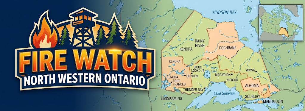
The areas affected by the Orange warning include Fort Frances, Kenora and Dryden.
Red Lake and Sioux Lookout are in the less severe Yellow warning area.